Holland Park Avenue, W11

Road in/near Holland Park, existing until now.

 HOME  ·  ARTICLE  ·  MAPS  ·  STREETS  ·  BLOG  ·  CONTACT US 
(51.5064 -0.2085, 51.506 -0.208) 
MAP YEAR:175018001810182018301860190019502024Show map without markers
TIP: Show map without markers allows you to view old maps without clutter
 
Road · * · W11 ·
December
11
2020
Holland Park Avenue is one of London’s most ancient thoroughfares.

The Romans made Holland Park Avenue their main road into London from Silchester and the west, but it probably existed as an ancient British trackway long before that. In Roman times it ran through a densely forested area, part of the huge forest that was later known as the Forest of Middlesex (which according to a 12th century description was full of red and fallow deer, boars and wild bulls).

After the Romans left, the road appears to have deteriorated to such an extent that the then smaller parallel road to the south that is now High Street Kensington took over as the main way into London for travellers from the West of England. But the old road continued to be used by travellers from Oxford and Uxbridge, and until the 19th century it was known as the Uxbridge Road, or sometimes simply the “North Highway”.

From the Middle Ages onwards, the forest was gradually cleared, to be replaced by arable farmland and meadows. Gravel pits began to be worked at what is now Notting Hill Gate, and a straggling village developed along that part of the road at a fairly early stage.

The Holland Park Avenue section of the road remained in open country until the early 1800s. The grounds of Holland House ran right down to the road on the south side. Almost the only buildings were a large house just west of Princedale Road which was the “ handsome pleasant seat” of the owner of the Norland estate; a farm on the site of the Mitre pub, called Notting Hill Farm; and a hostelry called the Plough (a name appropriately indicative of the rural nature of the area) more or less opposite the end of Campden Hill Road (which was then known as Plough Lane).

The road was known for its robbers and footpads. In the 14th century, one Thomas de Holland was robbed of a cart and its goods at “Knottynghull”, and there are a number of other accounts of robberies down to the 18th century. For instance, in 1751, at the level of Holland Park, two gentleman were robbed of their watches and money by men in black masks – 18th century hoodies – “who swore a lot and appeared to be in liquor”. In 1767, it was decided to install lights and appoint watchmen along the Bayswater Road because it was “infested in the Nighte-time with Robbers and other wicked and ill-disposed persons, and Robberies, Outrages and Violences are committed thereon”, but that no doubt that merely caused the robbers to move west to prey on travellers on the unlighted and unwatched section near Holland Park.

The road was often in poor condition, and this was what led to the establishment of the turnpike gate that became known as Notting Hill Gate, so that tolls could be raised from travellers to keep the road in repair. The private Act of Parliament passed in 1714 to authorise the collection of tolls on the road between Uxbridge and Tyburn (Marble Arch) noted that the road “by reason of the many heavy carriages frequently passing, has become very ruinous and many parts are so bad that the same are very dangerous to such persons as have occasion to travel through the road and in the winter season the road is almost impassable for horses, coaches, chariots, carts and other carriages”. Notting Hill Gate was one of several turnpikes subsequently set up on the road from Uxbridge; it was finally removed in the 1860s.

Around the mid-18th century, 170 acres of land to the north of Holland Park Avenue, between Portland Road and Ladbroke Terrace, were acquired by Richard Ladbroke, a member of a rich family of bankers (the land on the south side of Holland Park Avenue belonged to Lord Holland of Holland House). Richard Ladbroke and his descendants did nothing with the land – beyond enjoying its revenues – until 1819, when the estate was inherited by his grandson, James Weller Ladbroke. The latter determined on developing part of the estate to meet the increasing demand for housing within easy reach of London.

It was natural that he should begin with the frontage of the Uxbridge Road, the only real road in the neighbourhood. In 1823 he signed two agreements with developers, one covering the part of the northern side of the road to the west of Notting Hill Farm, and one the part of the road to the east. Under these agreements, the developers undertook to build a certain number of houses. In exchange, once the houses were built, Weller Ladbroke granted the developers 99-year leases of the new houses, which they could then sub-let for income, paying James Weller Ladbroke a rising ground rent, so that both parties were in profit.

In 1824, the first houses were erected on the north side between Ladbroke Terrace and Ladbroke Grove, and in the next 10 years building extended to Clarendon Road, the farm being replaced by an inn. Almost all these houses are still standing.

In the mid 1830s the building boom collapsed as it became clear that the area was still too far west of London to be attractive. All activity on the Ladbroke estate stopped and the houses on the Uxbridge Road, along with a few built at the same time on the other side of the road and at the southern end of Ladbroke Grove and Ladbroke Terrace, remained for the next decade surrounded by countryside. But in the 1840s, demand for housing revived, and over the next three decades the rest of the Ladbroke estate was completed. The few gaps that remained in Holland Park Avenue were filled in. Finally, in 1900, Boyne House made way for the Holland Park Station on the new “Central London Railway”.

As was typical of the period, each separate terrace of houses was given its own name and numbering system. Thus, the houses between Ladbroke Terrace and Ladbroke Grove and the first 12 houses west of the Mitre were part of “Notting Hill Terrace” (and Campden Hill Square, which was built by the same developer around the same time, was called Notting Hill Square); then came Boyne Terrace and Boyne House where the Underground Station now is; and finally between the station and Clarendon Road there was Grove Terrace. It was not until 1895 that this part of the Uxbridge Road was renamed Holland Park Avenue and the present street numbering system introduced.


Main source: Ladbroke Association
Further citations and sources


Click here to explore another London street
We now have 665 completed street histories and 46835 partial histories
Find streets or residential blocks within the M25 by clicking STREETS


CONTRIBUTIONS TO THE LOCALITY

None so far :(
LATEST LONDON-WIDE CONTRIBUTIONS TO THE PROJECT

Comment
Wendy    
Added: 22 Mar 2024 15:33 GMT   

Polygon Buildings
Following the demolition of the Polygon, and prior to the construction of Oakshott Court in 1974, 4 tenement type blocks of flats were built on the site at Clarendon Sq/Phoenix Rd called Polygon Buildings. These were primarily for people working for the Midland Railway and subsequently British Rail. My family lived for 5 years in Block C in the 1950s. It seems that very few photos exist of these buildings.

Reply

Steve   
Added: 19 Mar 2024 08:42 GMT   

Road construction and houses completed
New Charleville Circus road layout shown on Stanford’s Library Map Of London And Its Suburbs 1879 with access via West Hill only.

Plans showing street numbering were recorded in 1888 so we can concluded the houses in Charleville Circus were built by this date.

Source: Charleville Circus, Sydenham, London

Reply
Comment
Steve   
Added: 19 Mar 2024 08:04 GMT   

Charleville Circus, Sydenham: One Place Study (OPS)
One Place Study’s (OPS) are a recent innovation to research and record historical facts/events/people focused on a single place �’ building, street, town etc.

I have created an open access OPS of Charleville Circus on WikiTree that has over a million members across the globe working on a single family tree for everyone to enjoy, for free, forever.

Source: Charleville Circus, Sydenham, London

Reply
Comment
Charles   
Added: 8 Mar 2024 20:45 GMT   

My House
I want to know who lived in my house in the 1860’s.

Reply

NH   
Added: 7 Mar 2024 11:41 GMT   

Telephone House
Donald Hunter House, formerly Telephone House, was the BT Offices closed in 2000

Reply
Comment
Paul Cox   
Added: 5 Mar 2024 22:18 GMT   

War damage reinstatement plans of No’s 11 & 13 Aldine Street
Whilst clearing my elderly Mothers house of general detritus, I’ve come across original plans (one on acetate) of No’s 11 & 13 Aldine Street. Might they be of interest or should I just dispose of them? There are 4 copies seemingly from the one single acetate example. Seems a shame to just junk them as the level of detail is exquisite. No worries if of no interest, but thought I’d put it out there.

Reply
Comment
Diana   
Added: 28 Feb 2024 13:52 GMT   

New Inn Yard, E1
My great grandparents x 6 lived in New Inn Yard. On this date, their son was baptised in nearby St Leonard’s Church, Shoreditch

Source: BDM London, Cripplegate and Shoreditch registers written by church clerk.

Reply
Comment
Vic Stanley   
Added: 24 Feb 2024 17:38 GMT   

Postcose
The postcode is SE15, NOT SE1

Reply


LOCAL PHOTOS
Click here to see map view of nearby Creative Commons images
Click here to see Creative Commons images near to this postcode
Click here to see Creative Commons images tagged with this road (if applicable)
Addison Place
Credit: Google Maps
TUM image id: 1457274476
Licence: CC BY 2.0
Ansleigh Place, W11
TUM image id: 1453967815
Licence: CC BY 2.0

In the neighbourhood...

Click an image below for a better view...
Children of Ruston Close This road was the renaming of Rillington Place. Even after renaming, this street, where notorious murders had taken place, proved too much to avoid subsequent demolition.
Licence:


The St Agnes soup kitchen was situated on the corner of Bangor Street, W11 that this photo was taken from. Bangor Street disappeared from the streetscene of Notting Dale after the Second World War.
Credit: Bishopsgate Institute
Licence:


HM Queen Elizabeth, Queen Mother, with Lady Petrie, opening Henry Dickens Court, W11 (1953) The Queen Mother is greeted by large crowds and is accompanied by Lady Petrie, Mayor of Kensington. Henry Dickens Court was built by the Council on a bomb site as part of the borough’s post war redevelopment plan. It was named after Henry Dickens, grandson of Charles Dickens, an Alderman on the Council and an active advocate of municipal housing.
Credit: Kensington Libraries
Licence:


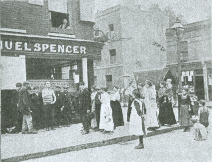
Corner of Bangor Street and Sirdar Road, W11 (1911) This became the Dolphin Pub. The location was demolished to make way for the Henry Dickens Estate.
Credit: London City Mission magazine
Licence:


St Peter's Notting Hill
Credit: Asteuartw
Licence: CC BY 2.0


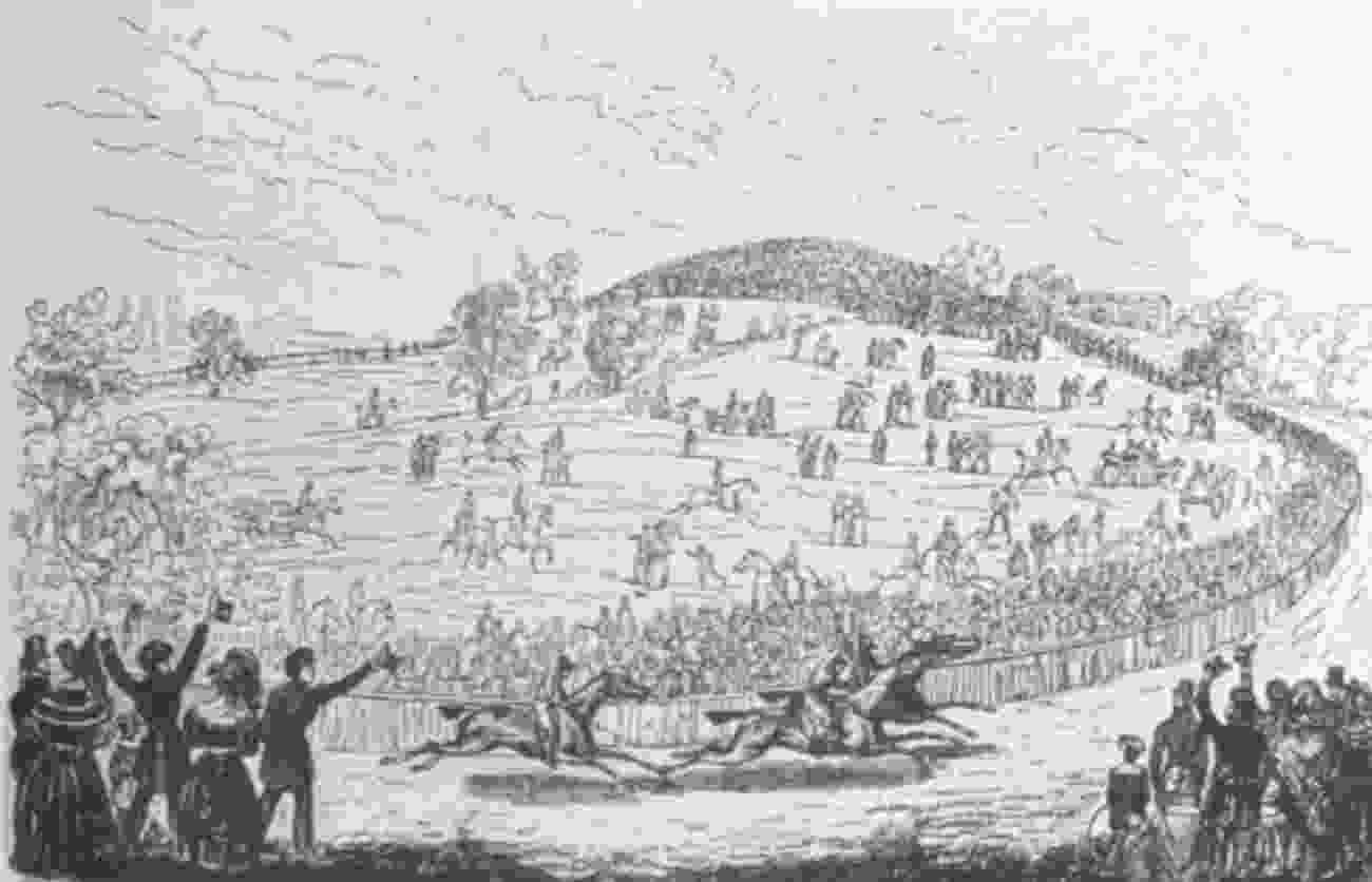
Kensington Hippodrome, about 1840, showing St John’s Hill in the background.
Licence:


Abbotsbury Road, Holland Park (2008) These houses are just beside an entrance to Holland Park. Further along the road was the Maharishi Mahesh Yogi meditation centre visited by the Beatles in 1967.
Credit: Geograph/David Hawgood
Licence:


Guy Fawkes and friends in Addison Avenue, W11 (around 1960)
Licence:


Addison Place
Credit: Google Maps
Licence: CC BY 2.0


Addison Road, W14 (1909) Addison Road takes its name from the essayist Joseph Addison who lived nearby at Holland House.
Old London postcard
Licence:


  Contact us · Copyright policy · Privacy policy